

RECENT POSTS

NCERT Admit Card 2026 Out: Download Now
NCERT Admit Card 2026 Out: Download Now The NCERT Admit Card 2026 📢 is now available for Group A, B, and C non-teaching posts. Candidates who completed the application process can now download their hall [...]

ICSI Recruitment 2026: Apply Now, Salary ₹63,200
ICSI Recruitment 2026 – Quick Highlights Particulars Details Organization Institute of Company Secretaries of India (ICSI) Job Type Government / Statutory Body Jobs Posts Driver, Executive, Technical & Administrative Salary ₹19,900 to ₹63,200+ Application Mode [...]
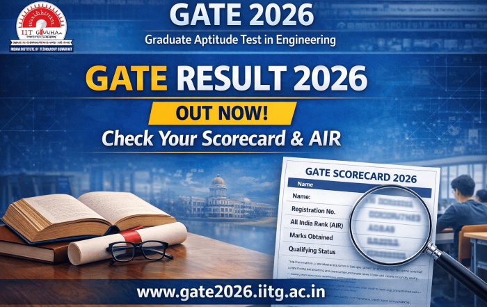
GATE Result 2026 Released: Check Your Scorecard & Rank at gate2026.iitg.ac.in
GATE Result 2026 Released: Check Your Scorecard & Rank at gate2026.iitg.ac.in The Graduate Aptitude Test in Engineering (GATE) 2026 results are officially out! If you appeared for the GATE 2026 exam, it's time to check [...]
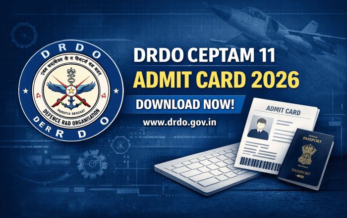
DRDO CEPTAM 11 Admit Card 2026 Released | Download Ticket
DRDO CEPTAM 11 Admit Card 2026: How to Download Your Hall Ticket The highly anticipated DRDO CEPTAM 11 Admit Card 2026 is officially available today! If you’re gearing up for the CBT exam scheduled on [...]

KVS NVS Tier 2 Admit Card 2026 – Download & Exam Details
KVS NVS Tier 2 Admit Card 2026 – Download & Exam Details Are you ready for the KVS NVS Tier 2 Examination 2026? If you’ve successfully cleared the Tier 1 exam, the next step is [...]
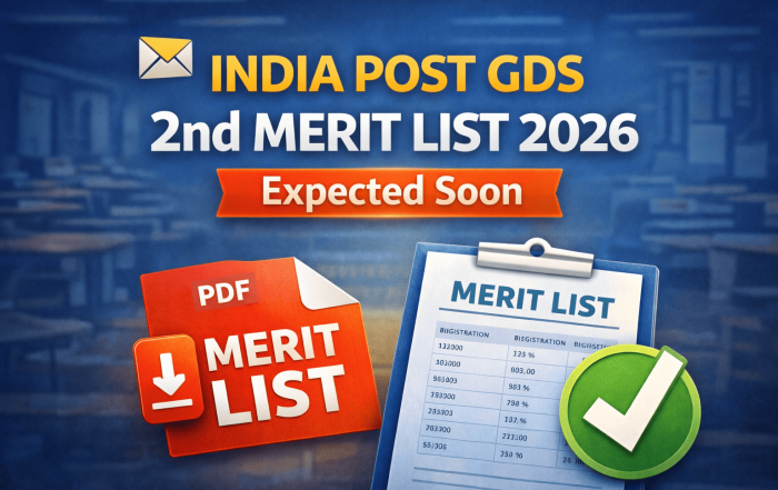
📢 India Post GDS 2nd Merit List 2026: PDF Download
📢 India Post GDS 2nd Merit List 2026 Latest Update Candidates who did not find their registration number in the first India Post GDS selection list are now waiting for the India Post GDS 2nd [...]
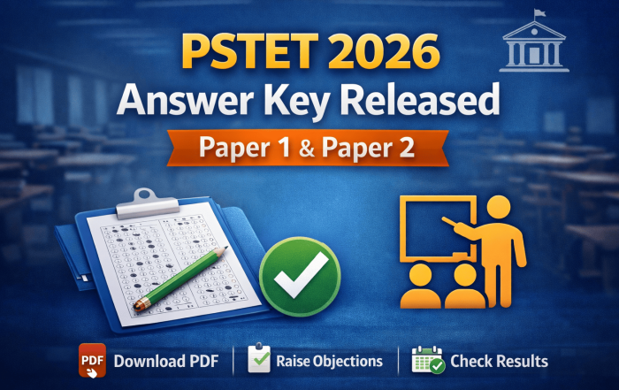
📄 PSTET Answer Key 2026 Released: Check Paper 1 & 2 PDF
📢 PSTET Answer Key 2026 Released for Paper 1 and Paper 2 The PSTET Answer Key 2026 is now available for candidates who appeared in the Punjab State Teacher Eligibility Test (PSTET). If you took [...]
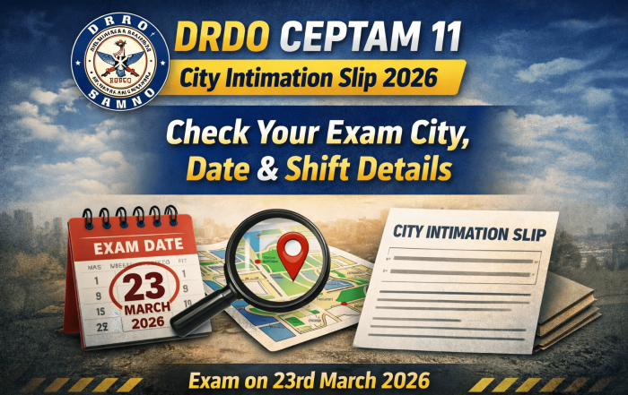
DRDO CEPTAM 11 City Intimation Slip 2026: Complete Guide to Check Your Exam City, Date & Shift Details
DRDO CEPTAM 11 City Intimation Slip 2026: Complete Guide to Check Your Exam City, Date, and Shift Details The DRDO CEPTAM 11 City Intimation Slip 2026 is a crucial document for candidates appearing for the [...]
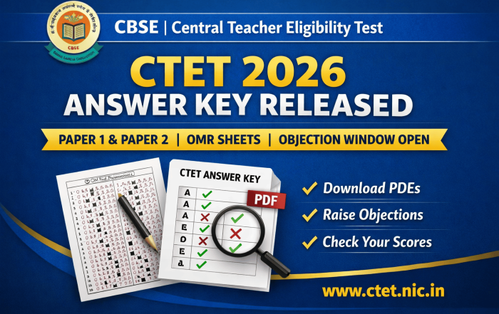
CTET 2026 Answer Key Released: Paper 1 & 2, OMR Sheets, Objection Process
CTET 2026 Answer Key Released: Paper 1 & 2, OMR Sheets, Objection Process The Central Board of Secondary Education (CBSE) has officially released the CTET 2026 Answer Key, along with scanned OMR Sheets for both [...]
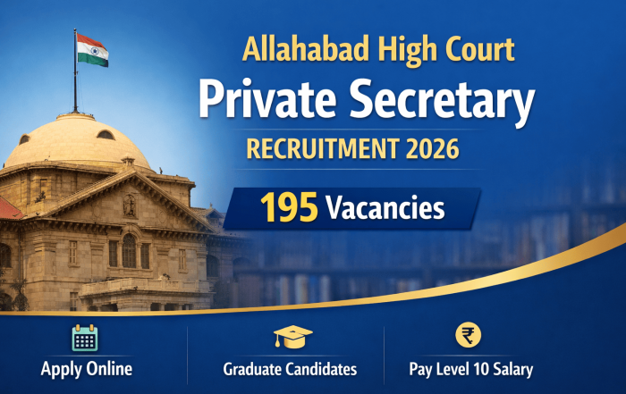
Allahabad High Court Private Secretary Recruitment 2026: Apply for 195 Posts 📑
Allahabad High Court Private Secretary Recruitment 2026: Apply for 195 Vacancies 📑 The Allahabad High Court has announced the much-awaited recruitment for Private Secretary Grade-I for the year 2026, with a total of 195 vacancies. [...]